Services
ArcGIS Utility Network — our speciality
MAGIS holds the Network Management Specialty certification — a rare qualification in the Pacific. We support operators in migrating and operating their technical network GIS.
Data model tailored to your infrastructure and operational needs. Migration from legacy solutions to ArcGIS Utility Network.
Connection with your CMMS, ADMS, SCADA. CIM XML export, business APIs, near-real-time operational dashboards.
Add-ins, Python/ArcPy scripts, quality control and export automation. Optimised field data entry interfaces.
Ongoing support, version upgrades, Enterprise and PostgreSQL migrations. Skills transfer and in-house team training.
Case studies
Network projects
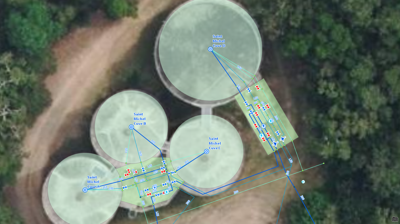
CART'EAU NC — Water and sanitation network
2025Calédonienne des Eaux (Suez)
Duration: Ongoing
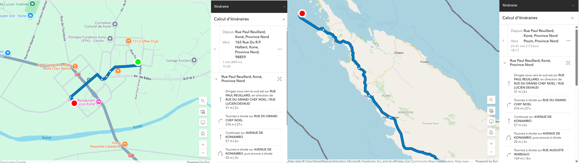
Development of a Routing Service.
2025Northern Province - New Caledonia
Duration: 6 months
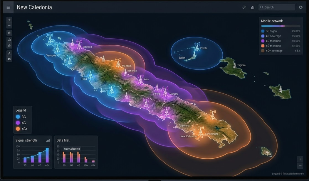
Mobile coverage
2024Office des Postes et Télécommunications (OPT-NC)
Duration: 9 months
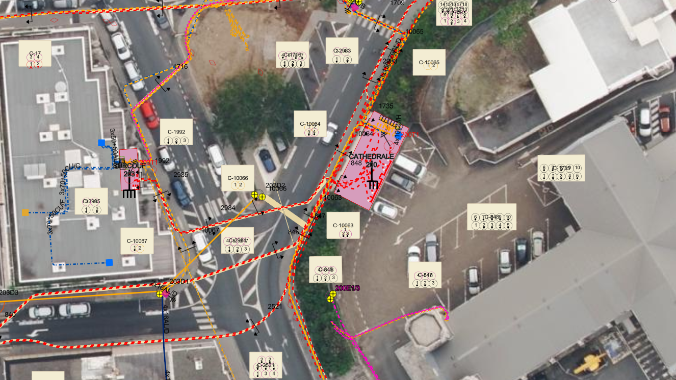
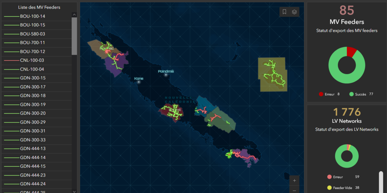
TIGRE — Geographic Information Processing for Electrical Networks
2024EEC (Engie)
Duration: 18 months
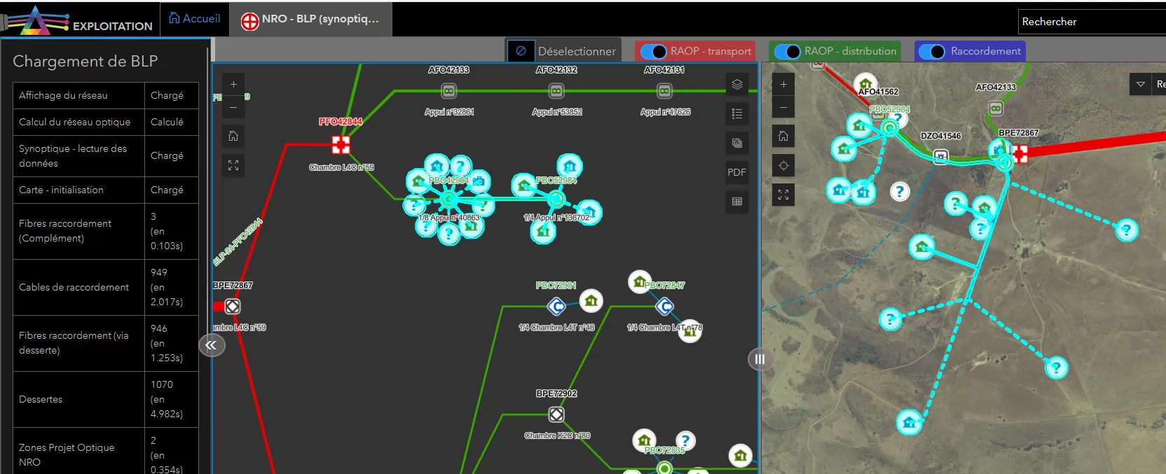
PRISME - Development of optical fiber network management tools for OPT
2023Office des Postes et Télécommunications (OPT-NC)
Duration: Ongoing